|
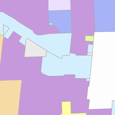
Width: 400 Height: 400 Extent:
YMin: 432852.0063980527 XMax: 2535502.7969095474 YMax: 439458.6993614591 Spatial Reference: 102660 (2238) Scale: 19027.275734610557 |
| ArcGIS REST Services Directory | Login |
| Home > services > Zoning_Atlas (MapServer) > export | Help | API Reference |

|
Width: 400 Height: 400 Extent:
YMin: 432852.0063980527 XMax: 2535502.7969095474 YMax: 439458.6993614591 Spatial Reference: 102660 (2238) Scale: 19027.275734610557 |