|
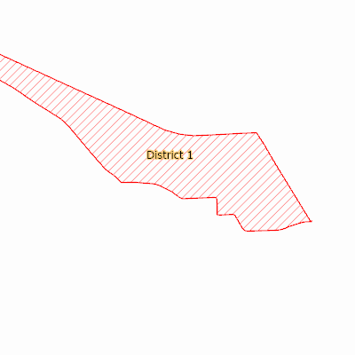
Width: 400 Height: 400 Extent:
YMin: 440821.8905730586 XMax: 2552244.1080723377 YMax: 467276.14178873855 Spatial Reference: 102660 (2238) Scale: 76188.2435011585 |
| ArcGIS REST Services Directory | Login |
| Home > services > Redistricting_Changes (MapServer) > export | Help | API Reference |

|
Width: 400 Height: 400 Extent:
YMin: 440821.8905730586 XMax: 2552244.1080723377 YMax: 467276.14178873855 Spatial Reference: 102660 (2238) Scale: 76188.2435011585 |