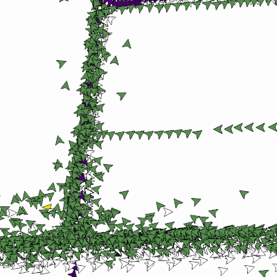
|
Width: 400 Height: 400 Extent:
YMin: 437217.7254049043 XMax: 2554421.717490344 YMax: 437738.8111689492 Spatial Reference: 102660 (2238) Scale: 1500.7270004492998 |
| ArcGIS REST Services Directory | Login |
| Home > services > Mosquito_Control_Tracks (MapServer) > export | Help | API Reference |

|
Width: 400 Height: 400 Extent:
YMin: 437217.7254049043 XMax: 2554421.717490344 YMax: 437738.8111689492 Spatial Reference: 102660 (2238) Scale: 1500.7270004492998 |