|
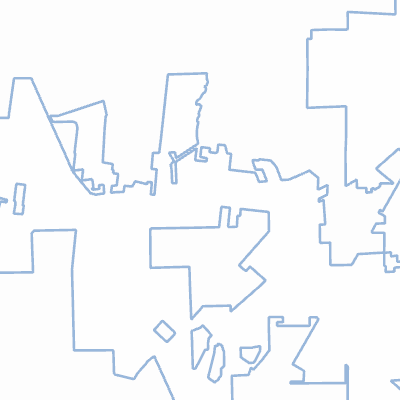
Width: 400 Height: 400 Extent:
YMin: 3524307.143517235 XMax: -9201045.685194535 YMax: 3529071.105632027 Spatial Reference: 102100 (3857) Scale: 45013.72523024964 |
| ArcGIS REST Services Directory | Login |
| Home > services > LakeCityLimits (MapServer) > export | Help | API Reference |

|
Width: 400 Height: 400 Extent:
YMin: 3524307.143517235 XMax: -9201045.685194535 YMax: 3529071.105632027 Spatial Reference: 102100 (3857) Scale: 45013.72523024964 |