|
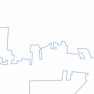
Width: 400 Height: 400 Extent:
YMin: 3526018.672169216 XMax: -9202394.222670281 YMax: 3528389.6533528063 Spatial Reference: 102100 (3857) Scale: 22402.92700750866 |
| ArcGIS REST Services Directory | Login |
| Home > services > LakeCityLimits (MapServer) > export | Help | API Reference |

|
Width: 400 Height: 400 Extent:
YMin: 3526018.672169216 XMax: -9202394.222670281 YMax: 3528389.6533528063 Spatial Reference: 102100 (3857) Scale: 22402.92700750866 |