|
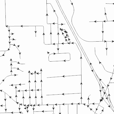
Width: 400 Height: 400 Extent:
YMin: 409745.73848723824 XMax: 2552173.01670055 YMax: 417125.1748096041 Spatial Reference: 102660 (2238) Scale: 21252.776608413755 |
| ArcGIS REST Services Directory | Login |
| Home > services > LCRoadCenterlines (MapServer) > export | Help | API Reference |
|
|
Width: 400 Height: 400 Extent:
YMin: 409745.73848723824 XMax: 2552173.01670055 YMax: 417125.1748096041 Spatial Reference: 102660 (2238) Scale: 21252.776608413755 |