|
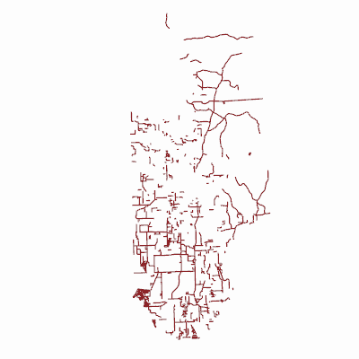
Width: 400 Height: 400 Extent:
YMin: 295344.50060661766 XMax: 2684740.3976386394 YMax: 576554.9714049955 Spatial Reference: 102660 (2238) Scale: 809886.1558993282 |
| ArcGIS REST Services Directory | Login |
| Home > services > GradedRoadStatus (MapServer) > export | Help | API Reference |

|
Width: 400 Height: 400 Extent:
YMin: 295344.50060661766 XMax: 2684740.3976386394 YMax: 576554.9714049955 Spatial Reference: 102660 (2238) Scale: 809886.1558993282 |