|
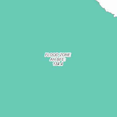
Width: 400 Height: 400 Extent:
YMin: 443200.2502933025 XMax: 2541332.493205009 YMax: 444795.9575915236 Spatial Reference: 102660 (2238) Scale: 4595.637018876671 |
| ArcGIS REST Services Directory | Login |
| Home > services > Flood_Zones_2019 (MapServer) > export | Help | API Reference |

|
Width: 400 Height: 400 Extent:
YMin: 443200.2502933025 XMax: 2541332.493205009 YMax: 444795.9575915236 Spatial Reference: 102660 (2238) Scale: 4595.637018876671 |