|
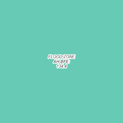
Width: 400 Height: 400 Extent:
YMin: 443522.6018933624 XMax: 2541010.1416049507 YMax: 444473.60599146393 Spatial Reference: 102660 (2238) Scale: 2738.8918025323746 |
| ArcGIS REST Services Directory | Login |
| Home > services > Flood_Zones_2018 (MapServer) > export | Help | API Reference |

|
Width: 400 Height: 400 Extent:
YMin: 443522.6018933624 XMax: 2541010.1416049507 YMax: 444473.60599146393 Spatial Reference: 102660 (2238) Scale: 2738.8918025323746 |