|
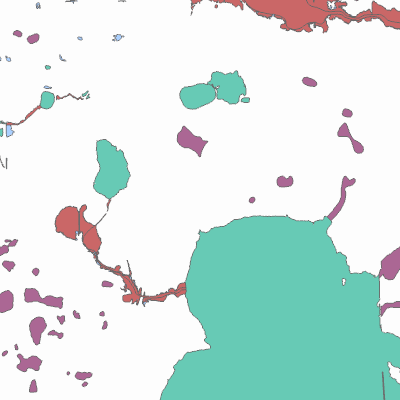
Width: 400 Height: 400 Extent:
YMin: 425747.0907912058 XMax: 2566432.3897851873 YMax: 441962.1471971096 Spatial Reference: 102660 (2238) Scale: 46699.36244900286 |
| ArcGIS REST Services Directory | Login |
| Home > services > Flood_Zones (MapServer) > export | Help | API Reference |

|
Width: 400 Height: 400 Extent:
YMin: 425747.0907912058 XMax: 2566432.3897851873 YMax: 441962.1471971096 Spatial Reference: 102660 (2238) Scale: 46699.36244900286 |