|
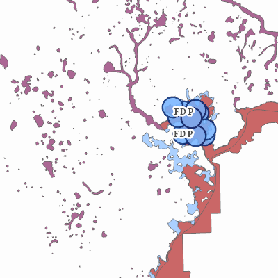
Width: 400 Height: 400 Extent:
YMin: 321711.2226630583 XMax: 2586075.1100677433 YMax: 359881.4009900404 Spatial Reference: 102660 (2238) Scale: 109930.11358170839 |
| ArcGIS REST Services Directory | Login |
| Home > services > Flood_Zones (MapServer) > export | Help | API Reference |

|
Width: 400 Height: 400 Extent:
YMin: 321711.2226630583 XMax: 2586075.1100677433 YMax: 359881.4009900404 Spatial Reference: 102660 (2238) Scale: 109930.11358170839 |