|
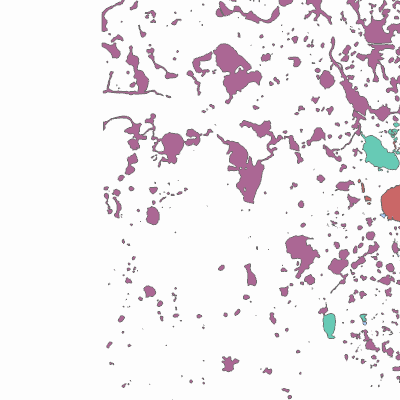
Width: 400 Height: 400 Extent:
YMin: 414095.457527462 XMax: 2543086.050173004 YMax: 462600.6845164211 Spatial Reference: 102660 (2238) Scale: 139695.05372820227 |
| ArcGIS REST Services Directory | Login |
| Home > services > Flood_Zones (MapServer) > export | Help | API Reference |

|
Width: 400 Height: 400 Extent:
YMin: 414095.457527462 XMax: 2543086.050173004 YMax: 462600.6845164211 Spatial Reference: 102660 (2238) Scale: 139695.05372820227 |