|
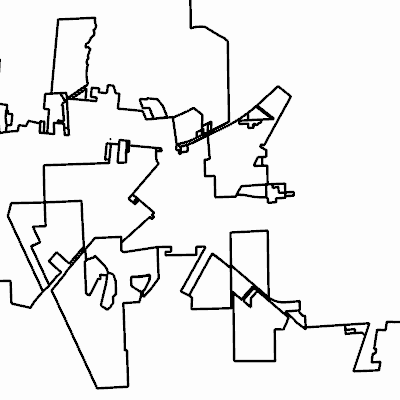
Width: 400 Height: 400 Extent:
YMin: 424345.98899582186 XMax: 2555883.139596919 YMax: 438589.28646383696 Spatial Reference: 102660 (2238) Scale: 41020.69670788318 |
| ArcGIS REST Services Directory | Login |
| Home > services > City_Annexations (MapServer) > export | Help | API Reference |

|
Width: 400 Height: 400 Extent:
YMin: 424345.98899582186 XMax: 2555883.139596919 YMax: 438589.28646383696 Spatial Reference: 102660 (2238) Scale: 41020.69670788318 |